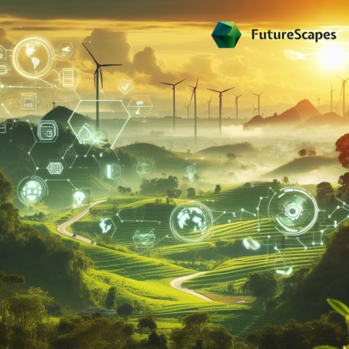
FutureScapes
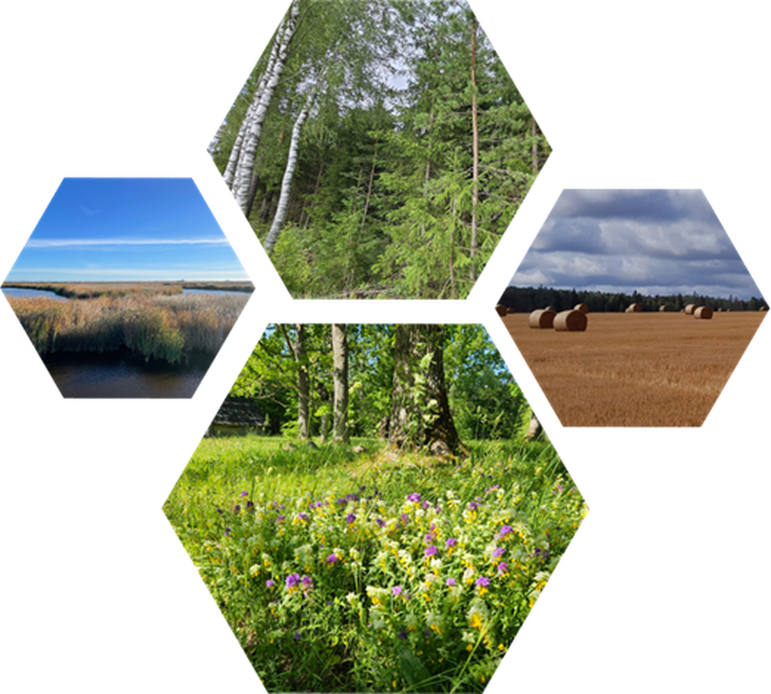
The Centre of Excellence for Sustainable Land Use aka FutureScapes is a 7-year project (2024–2030) that aims to identify the relationships between biodiversity and carbon flows in different environmental conditions across Estonia. Using the results, we will develop decision support for policymakers, landowners and land users in land use planning. The project is funded by the Ministry of Education and Research and the Estonian Research Council.
The goal
FutureScapes focuses on developing innovative solutions to address biodiversity loss and climate change. The main goal is to identify complex interconnections and co-benefits of biodiversity and carbon stocks and fluxes and to integrate this new knowledge into large-scale spatial models to create decision-support tools for land use planning.
What?
We will identify, analyze and link quantitatively the complex relationships between biodiversity patterns/functions, ecosystem carbon storage, sequestration and greenhouse gas emission from local to national level.
How?
By using geospatial data (incl. satellite data) and machine learning based spatial modelling, we will upscale the knowledge and relationships to regional level and implement in spatially explicit land use planning and management, considering the socioeconomic fabric of landowners and land users.
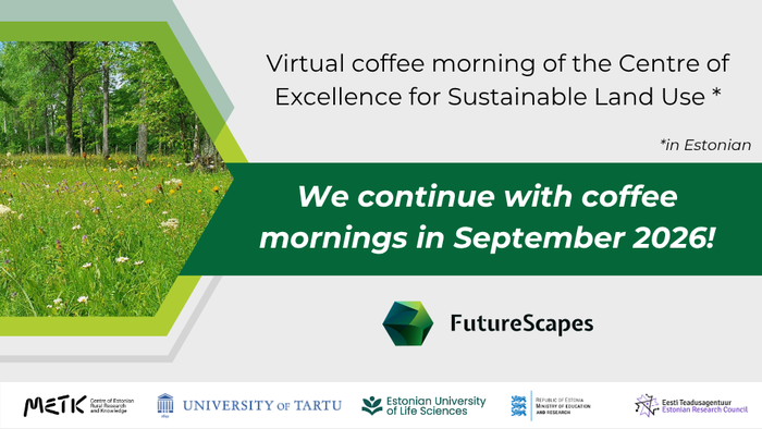
Coffee mornings in 2026
Since 2025, we organise coffee mornings (in Estonian). All interested people are welcome to join these online webinars (max 1 hour), where we present various topics relevant to the Centre of Excellence.
Recordings of previous coffee mornings can be found here.
Opening conference
The conference was streamed live on YouTube platform on 2 May 2024. Recording is available.
The Teams
The consortium of the Centre of Excellence comprises of 8 teams
Research and development institutions


Funders

Ministry of Education and Research