Landscape Geoinformatics Lab

Centre of Excellence for Sustainable Land Use

Introduction

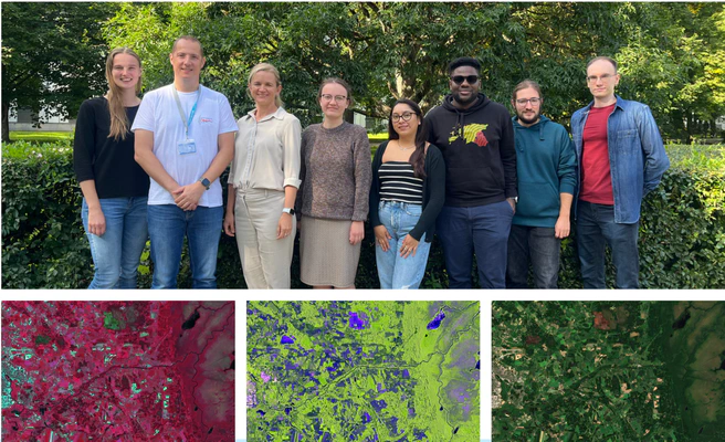
The Landscape Geoinformatics Lab at the University of Tartu has extensive expertise in landscape analysis, land use change modelling and machine learning (ML) based predictive geospatial modelling from landscape to regional and global level. The team uses advanced geospatial analysis methods, suitability analysis and machine learning to create spatially explicit land use scenarios and spatial predictions of environmental covariates (e.g. soil organic carbon, biodiversity, water quality).

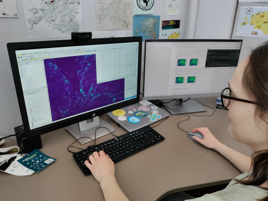
The team has built excellent knowledge in using and integrating various local, regional and global spatial environmental datasets (including remote sensing based) into efficient landscape analysis and modelling workflows which are scalable and reproducible.

Team is led by Professor Evelyn Uuemaa.

slider image
slider image

Role

In the current project, the Landscape Geoinformatics Lab will be responsible for:

  • Integrating all data into harmonized novel DGGS based data cube what will enable efficient data queries, processing and building ML models;
  • Developing machine learning based spatial predictive models for creating spatially explicit predictions for biodiversity and carbon storage/sequestration that will enable to:

– Identify cross-scale interactions due to explainable ML and;

– Create spatially explicit predictions for biodiversity and carbon stocks and fluxes at micro scale to national scale

Research and development institution

client-logo

Funders

Ministry of Education and Research

Ministry of Education and Research

Estonian Research Council

Estonian Research Council