Members of FutureScapes Landscape Geoinformatics Lab, Evelyn Uuemaa and Holger Virro, explained on yesterday’s “Aktuaalne kaamera” how artificial intelligence makes it possible to map new field islands in Estonia.
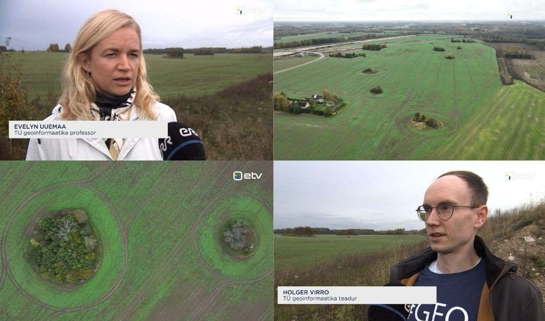 Screenshots from “Aktuaalne kaamera”.
The main points from the segment:
- Originally formed during the process of clearing fields of stones, field islands provide important habitats for plants, animals and birds in otherwise species-poor agricultural landscapes.
- It is important for farmers to know the locations of field islands, as they can apply for European Union support for field islands that benefit biodiversity.
- Currently, farmers have to mark field islands manually on the PRIA website, but AI could make the process much faster and more accurate.
- In the future, AI could similarly be used to identify other features, such as hedgerows and stone walls.
- AI has already helped identify 10,000 new field islands in Estonia.
AI also helps our Centre of Excellence analyse land use in Estonia, with the aim of enabling land-use practices to be planned in greater harmony with nature in the future.
You can watch the episode (in Estonian) here: